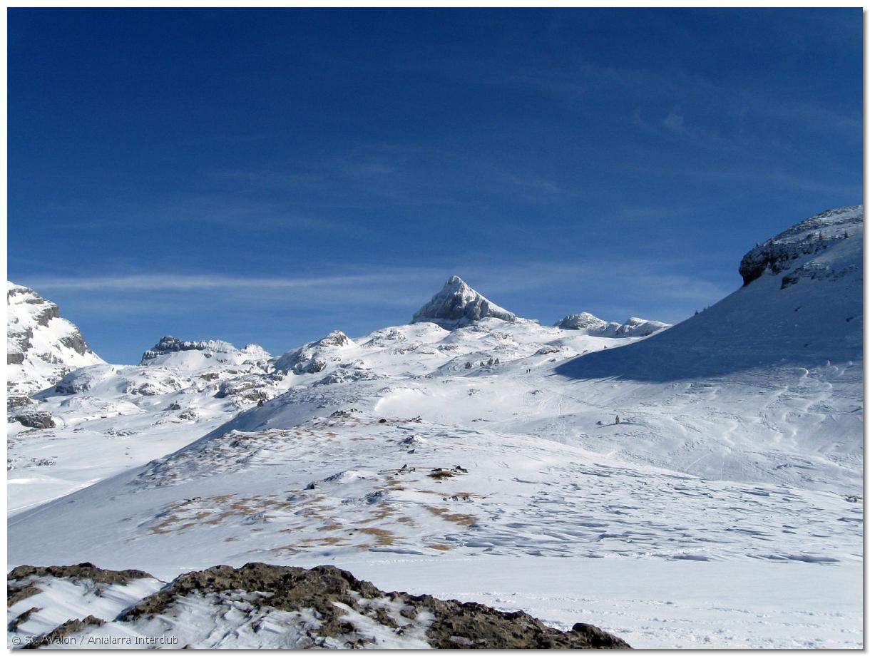
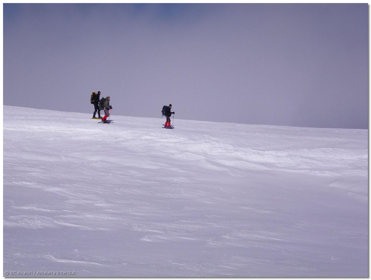
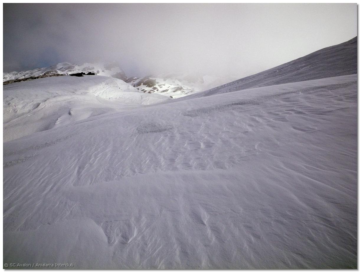
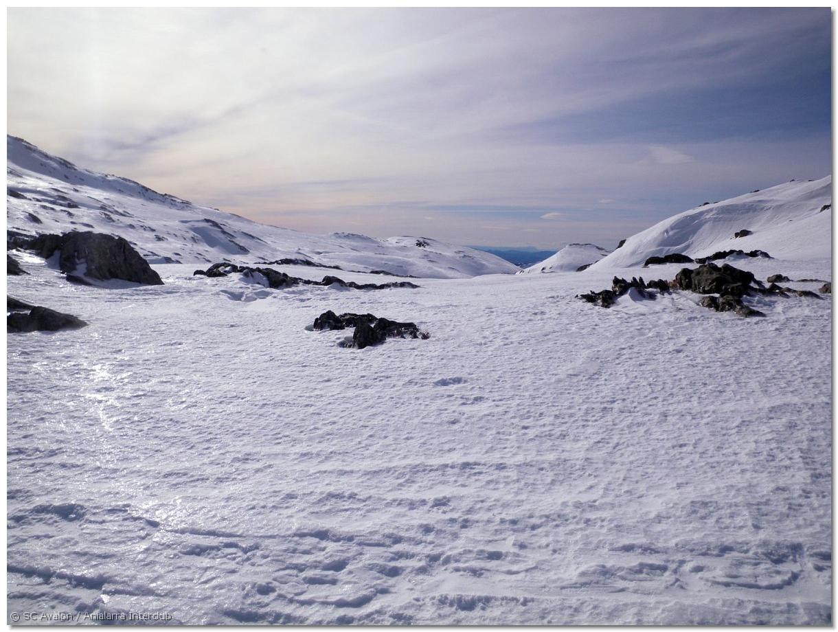
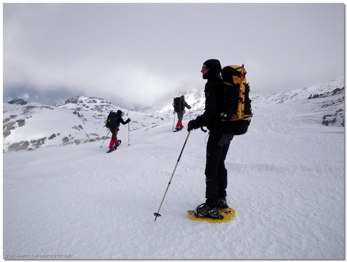
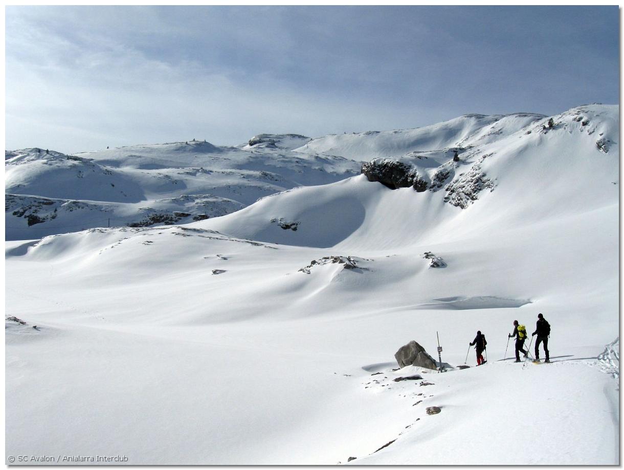
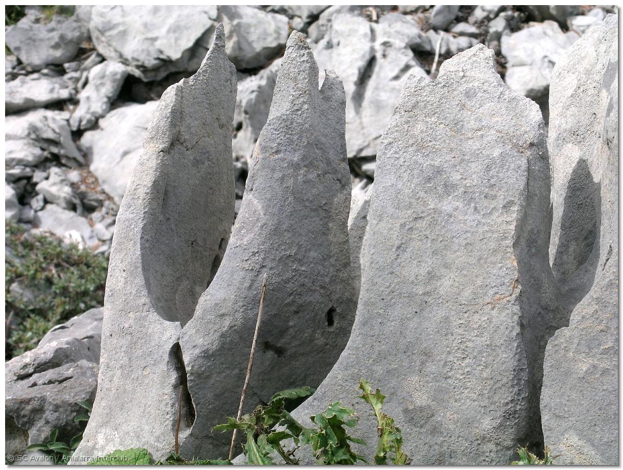
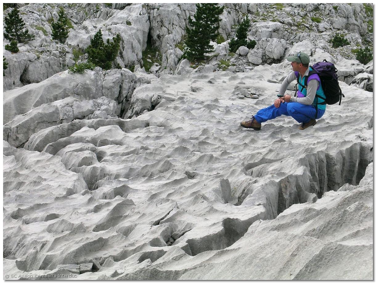
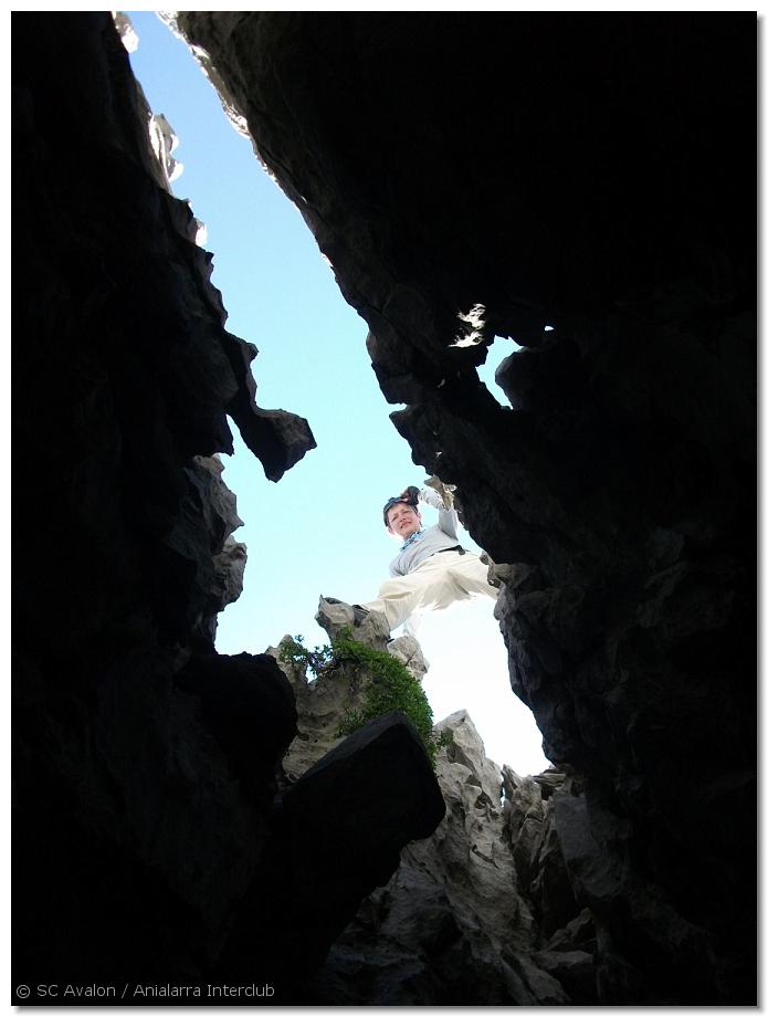
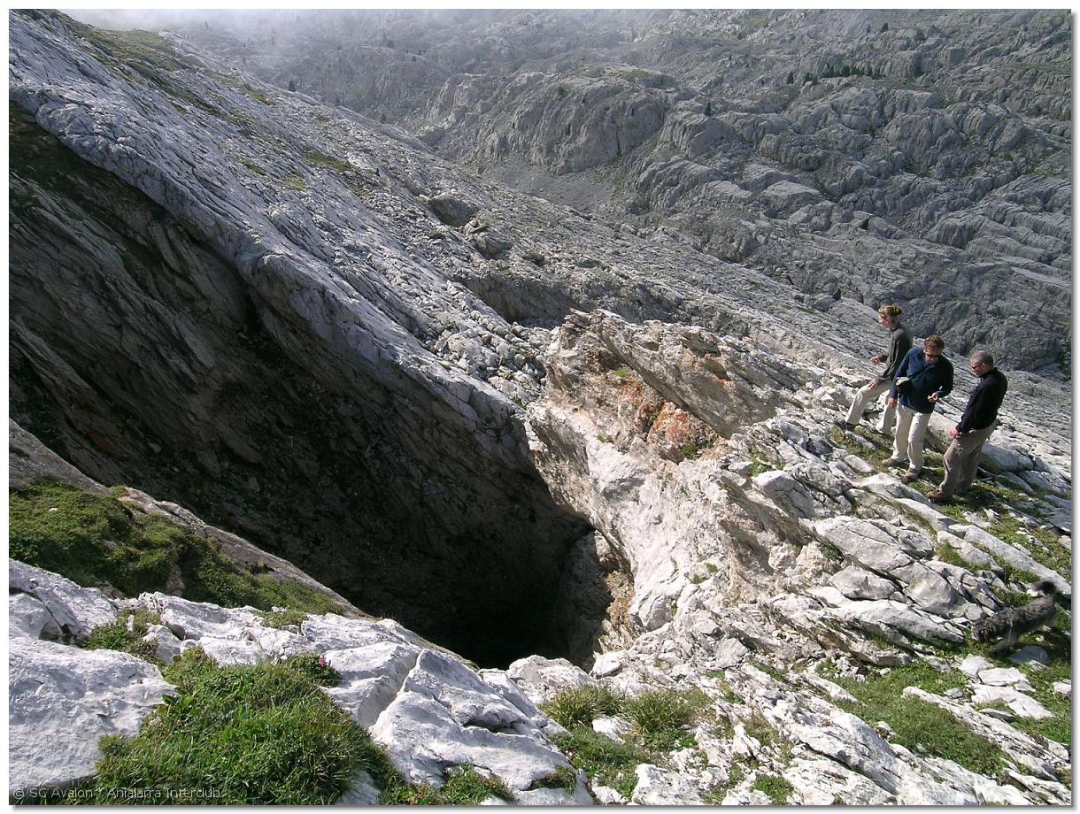
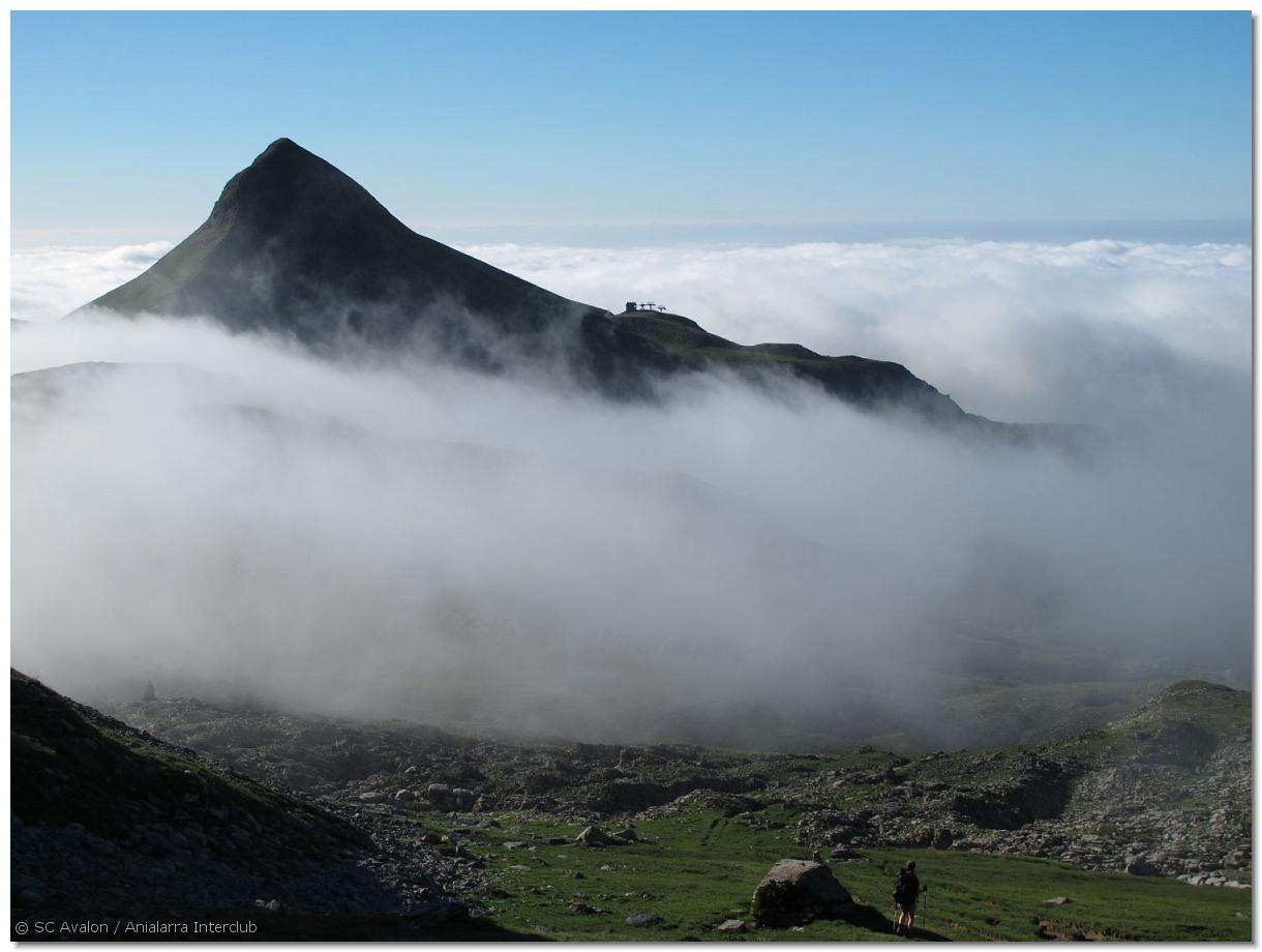
Cave Pictures
A collection of cave pictures by Paul De Bie, with assistance of SC Avalon
The Anialarra Mountains
Under the surface: a giant cave. Above the surface: a beautiful and unique landscape
IMG_5596
Anialarra is a vast limestone plateau, that extends over 8 kilometers from the East to the West and is about 500 m wide. It culminates at 2350 m in the East and descends steeply towards the West (Alt 1700 m)
IMG_2377
The Plateau is situated in the Pyrenees, at the French-Spanish border. Most of its surface is located in Spain.
IMG_2383
Pic d'Anie, a giant limestone pyramid of 2504 m high, dominates the Anialarra plateau but is strictly speaking no part of it.
20040815_145604
The limestone layer, between 300 and 450 m thick, is cracked and fissured. It is hard to imagine that 400 m below this desert of rock, big rivers flow in giant underground caves.
20050819_15
Glaciers, tectonic forces, rain and snow have sculped one of the most beautiful "lapiaz" plateaus in the world
2006_08 Anialarra 76
The limestone, attacked by acid waters, has left razor sharp rock
2006_08 Anialarra 66 IMG_2398
Walking around Anialarra eats your boots. Slipping or falling will hurt you!
2006_08 Anialarra 62 2006_08 Anialarra 58
There are no rivers on a lapiaz. Every drop of rain disappears into a crack or hole and goes down... making caves.
DSCF0320 Anialarra 10_2007 38
There are thousands of holes and pits, everywhere. A lot of them are blocked by snow or loose rock. Some of them go down for 400 meters and connect to the big cave system below.
2006_08 Anialarra 30 IMGP0015
It takes a lot of time to explore them all. SC Avalon has been working here for 15 years now and the end is nowhere in sight.
IMG_1079
Slowly but methodically we prospect and inventory every square meter of this limestone plateau.
IMG_1428
Each pit is inspected. When it goes on, we get our caving gear and explore it... which might take weeks or years, if it is a big cave!
IMG_1431
In the lower parts of Anialarra (below 1900 m) there is a bit of vegetation. Some pine trees and some grass...
IMG_9687
But above 1900 m, there is hardly any vegetation. It is a mineral desert of limestone rock.
DIMG_1543
Yet, a closer look will reveal many mountain flowers. By the way: have you noticed the giant "fault mirror" ? Such geological faults are favorable for the formation of caves.
DSCF0287
IMG_0985 IMG_1108 IMG_5153 IMG_2405
Wild fauna is very rare as well. But from time to time, one might meet a cute baby chamois.
beeh2
Sheep however do seem to like it here.
IMG_5180
Often the poor sheep end up at the bottom of a deep pit and die a miserable death
IMG_1124
A temperature inversion near 1700 m of altitude, often creates this spectacular "sea of clouds"
P1000240
Pic d'Arlas in the sea of clouds
IMG_1130
The clouds dissolve magically when reaching the warmer Southern side of the mountain.
DSCF0643
The landscape is breathtaking
IMG_1085 DSC01737
At the far East, the Anialarra Plateau suddenly ends into the void. Cliffs of several hundreds of meters high dominate a beautiful valley, deep below: the Cirque de Marmitou.
20040815_153406
The view is superb... you can see many important summits of the Pyrenees, such as Pic du Midi-Ossau
DSC01382
The giant cliffs also reveal caves. Searching for them, following high ridges, is a risky business
08_20_04_35
Deep caves exist at only a couple of meters from the edge of the cliffs. In the background, the limestone plateau of Ukerdi (Anialarra's neighbour) goes on endlessly.
09_13_04_34
A last view at the "Circque de Marmitou"
IMGP0015_001
To fully appreciate Anialarra, you must have been there in winter.
IMG_0850 IMG_4099
Several metres of snow cover everything.
IMG_4138
No more fissures and pits, everything is smooth. But they are still there, hiding below the snow. You should not adventure yourself here in winter, unless you know this area by heart.
IMGP0033 IMGP0036 IMGP0036_001 IMGP0045 IMG_0742
At the summit of Anialarra, 2350 m above sealevel
IMG_4077 IMG_0841
Summer or winter, seeing Anialarra is an experience you will never forget...